
Drone surveys, photo & video.
Site surveys, progress tracking, and aerial media for builders, civil contractors, developers, and owner’s representatives. Accurate data for the project team, and footage that doubles as marketing.
Know exactly where your site stands.
We fly your site on a schedule and turn each flight into a georeferenced map and 3D model. Your team can measure, check against design, and track progress from a browser, without walking the site.
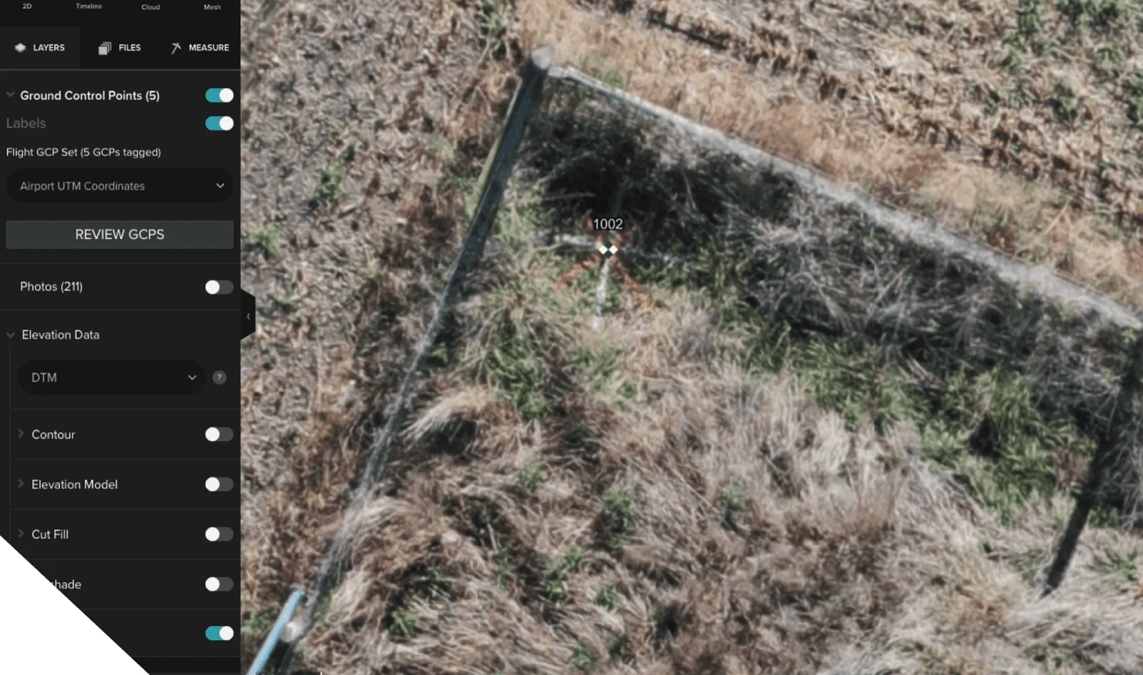
Survey-grade accuracy
- Models tied to your project survey control points
- Accuracy within about 1 cm with ground control
- Placed in real-world coordinates
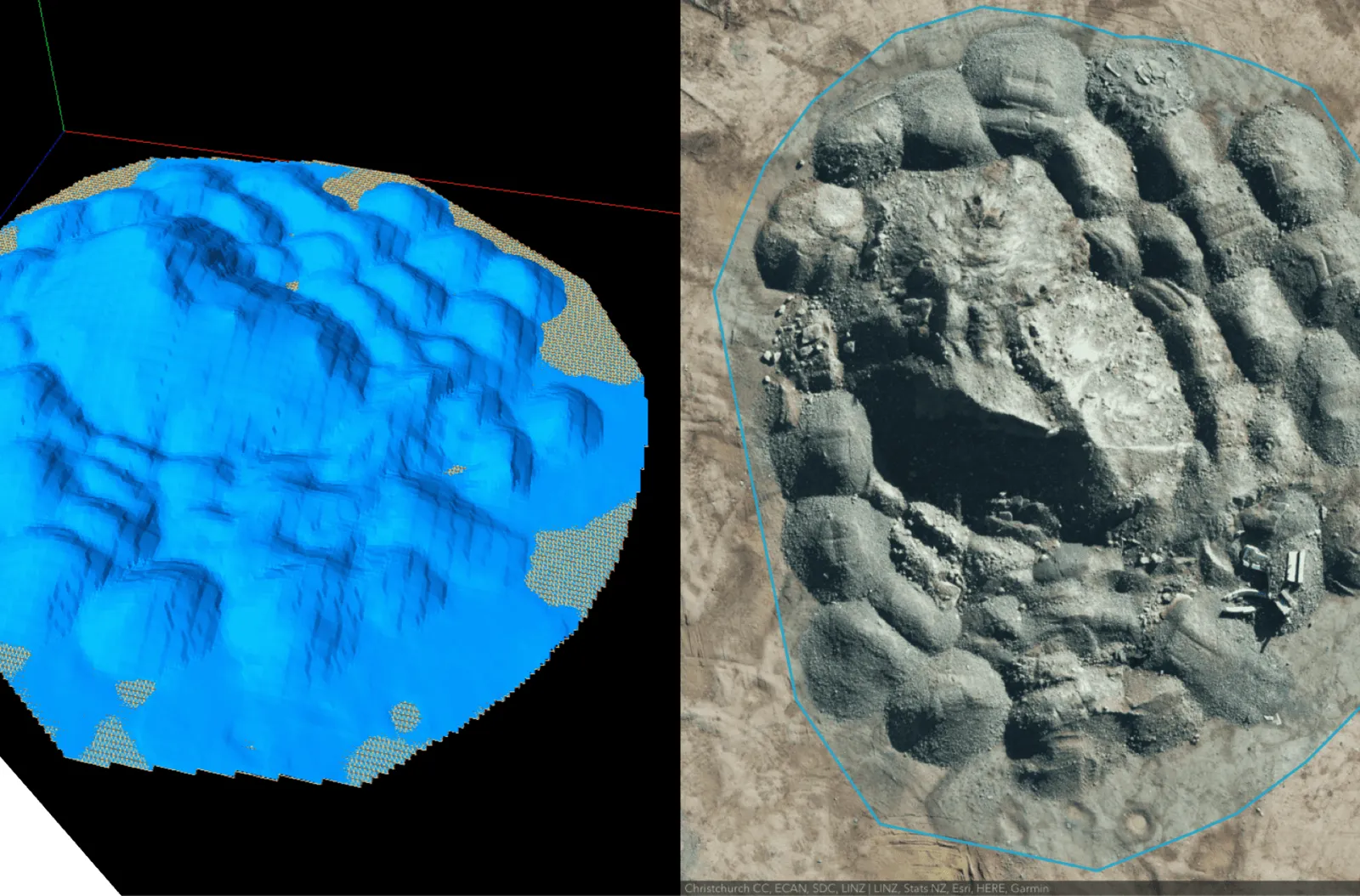
Measurements
- Volumes, areas, slopes, and distances
- Stockpile and cut/fill quantities
- Compare any measurement against past flights
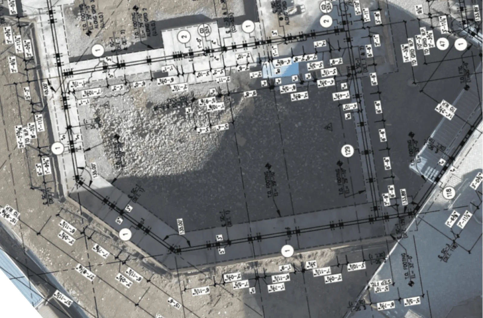
Design overlay
- Overlay design drawings on current site conditions
- Verify work in place matches design
- Red-line and record drawings for turnover
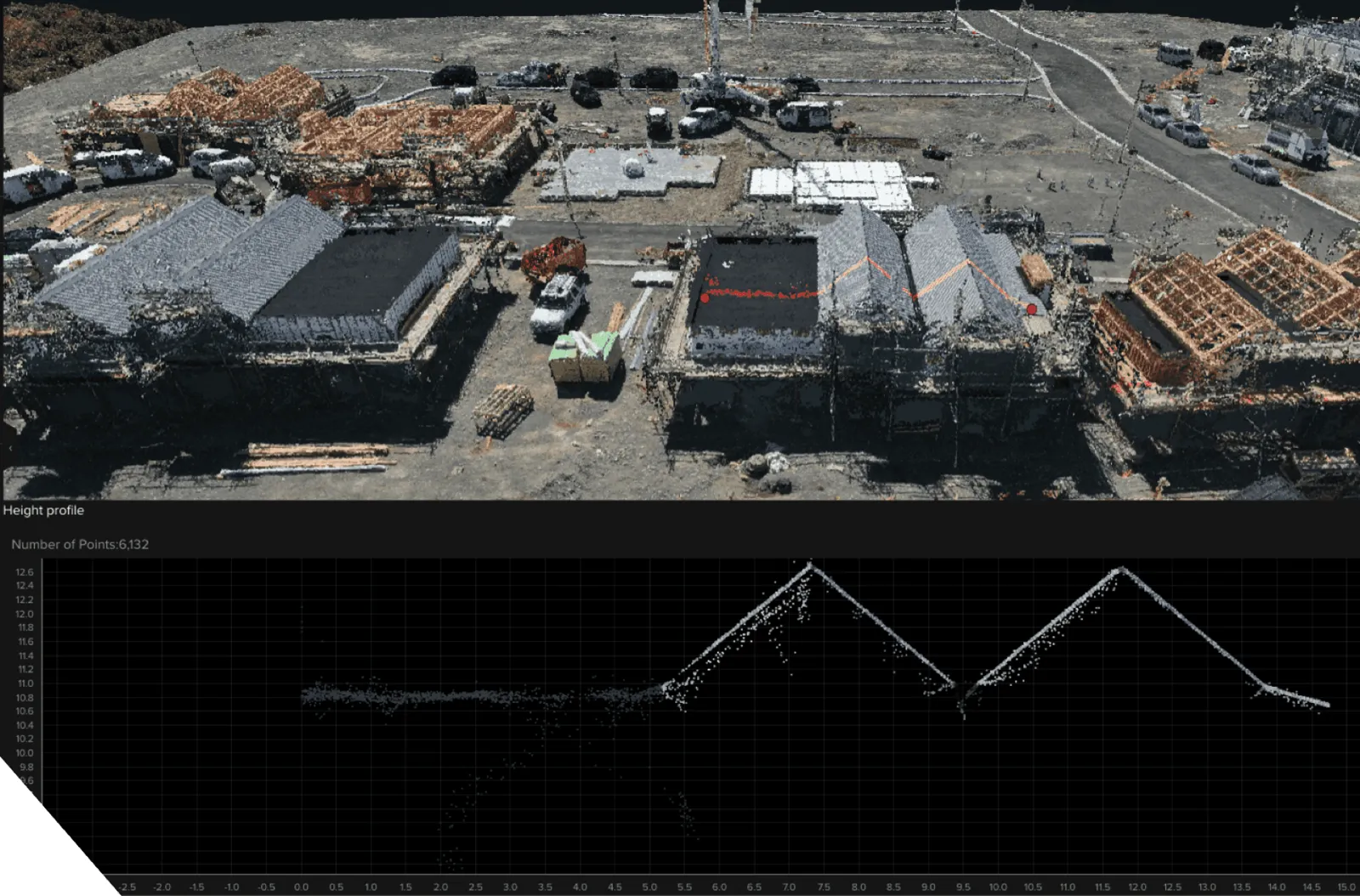
Progress timeline
- Every flight saved as a dated record
- Height profiles and grade checks
- Shared online so the whole team can view it
Downloads include georeferenced photos, orthomosaic maps, contours, and 3D models you can share across your organization.
Built for the people running the job.
Builders and general contractors: regular progress captures for reporting, claims, and client updates.
Earthworks and civil contractors: stockpile volumes, cut and fill, haul roads, and grade checks.
Owner’s representatives and developers: an independent, dated record of what has been built and when.
Past survey clients include Hawkins, Seipp, Higgins, and BG Contracting.
High-impact imagery from the air and the ground.
Gimbal-stabilized drones and ground cameras, flown and shot by a pilot who knows construction. Two starting packages, or we can build one around your project.
Standard
- 10 high resolution aerial photos
- Professional image post processing
- Online image delivery within 24 hours
- Excellent value starter package
Premium
- 20 high resolution aerial photos
- Professional image post processing
- Up to 4K video, delivered online
- Perfect for developers, construction, and tourism operators
Colorado and New Zealand.
In Colorado, Chris flies the job himself. In New Zealand, a trusted local pilot flies it and Chris manages the job from start to finish.
Every job is quoted for the site, scope, and location. Sites near airports, helipads, or other controlled areas may need extra planning.
Recent survey projects
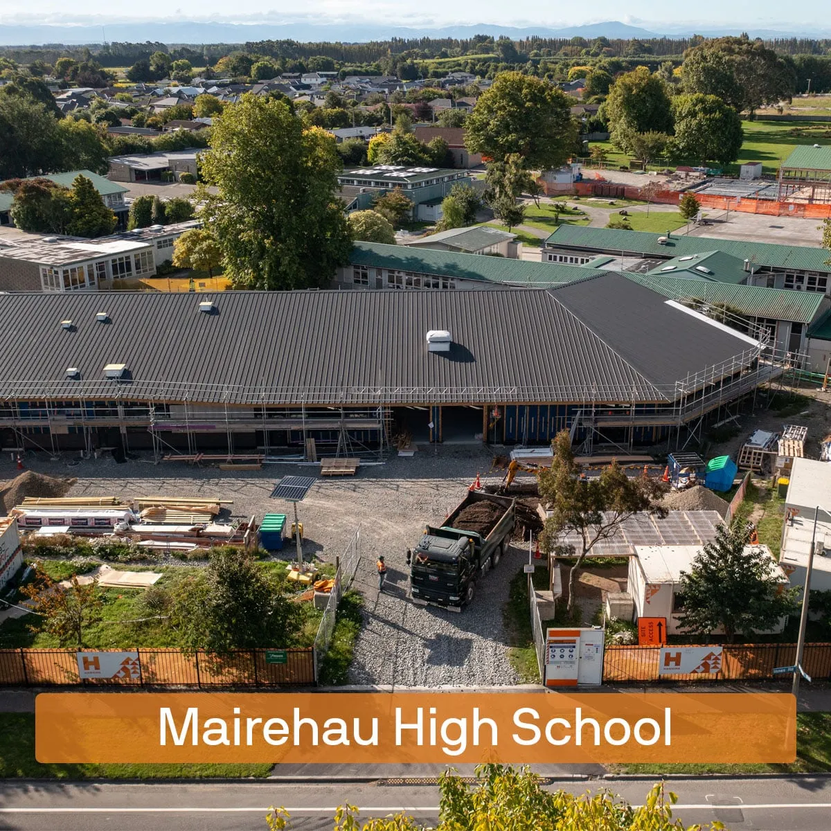 Hawkins: Drone SurveysConstruction Metrics · Media
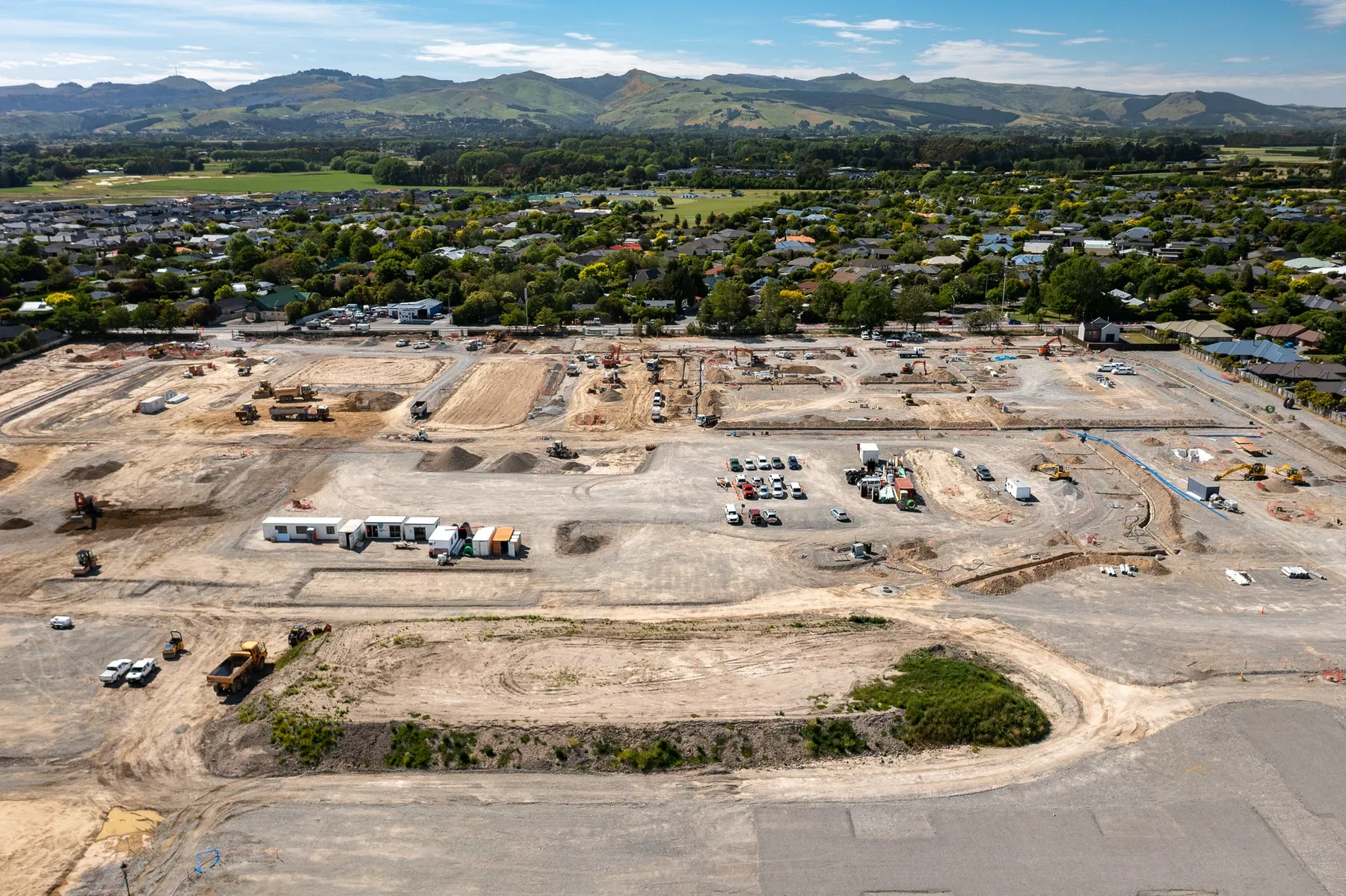 Higgins: Prebbleton SiteConstruction Metrics
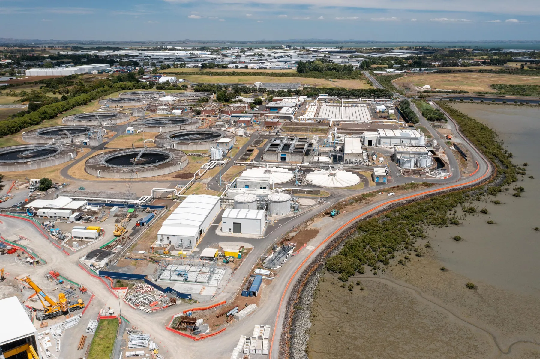 Seipp: Mangere Wastewater Treatment FacilityEarthwork · Construction Metrics
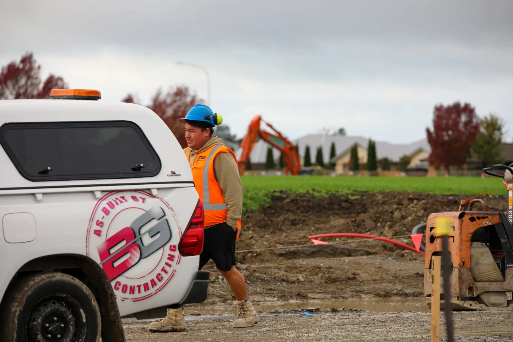 BG Contracting: BellgroveConstruction Metrics · Earthwork
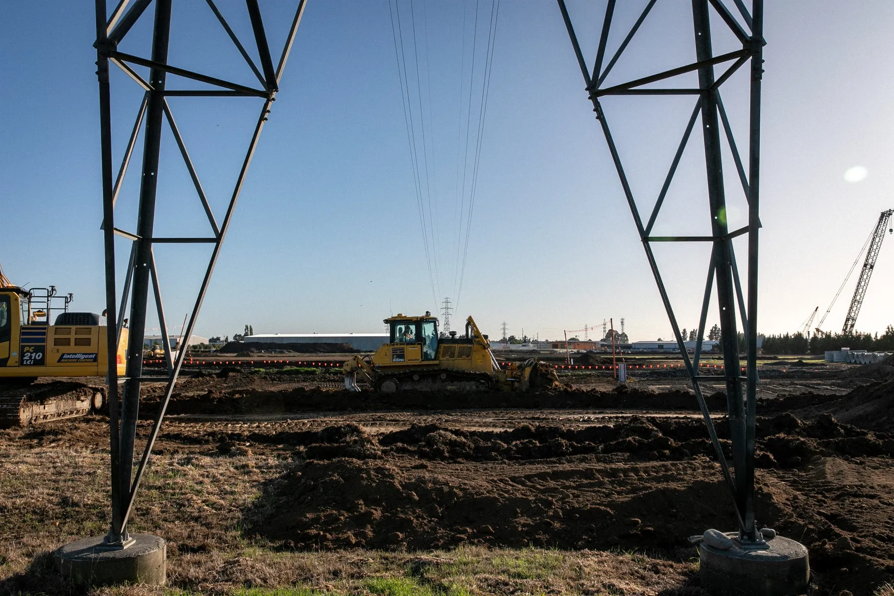 BG Contracting: Rangiora Business HubConstruction Metrics · Photography & Videography · Earthwork
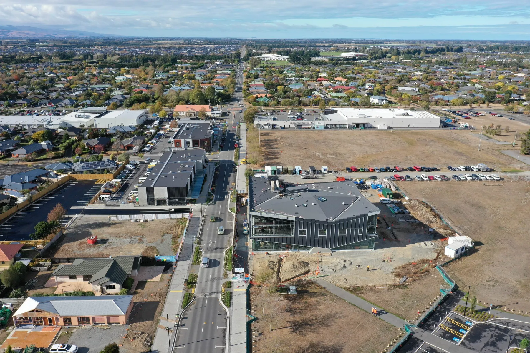 Armitage Williams: Rolleston LibraryConstruction Metrics